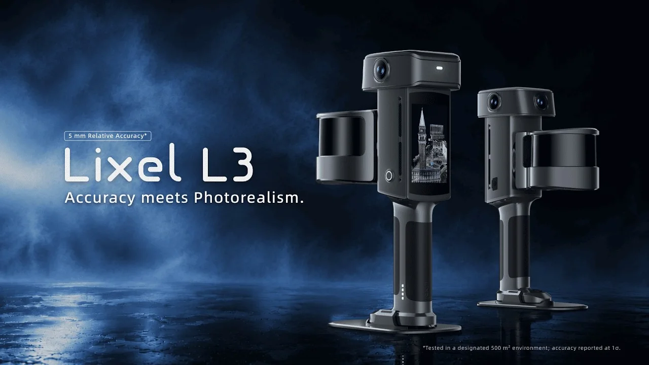
XGRIDS has introduced the Lixel L3 portable spatial scanner for surveying, digital twins and virtual production. The system combines high-accuracy LiDAR, a 1/1.3-inch 4K HDR colour camera, survey-grade RTK positioning and an integrated display.
A single pass captures geometry, colour and position for local processing into point clouds, detailed meshes and photorealistic 3D Gaussian-splat models. XGRIDS quotes five-millimetre post-processed relative accuracy and roughly 2.5-centimetre real-time absolute accuracy.
For virtual production, the resulting 3DGS data can move through the company’s LCC workflow into Unreal Engine. The scanner uses vision-aided SLAM, filters moving objects and noise, and can typically cover about 100 square metres in ten minutes under the stated high-accuracy workflow.
The five-millimetre figure comes from a documented vendor test, not every possible set. Productions should examine the test conditions and independently check drift, reflective surfaces, moving crowds, colour consistency and alignment between geometry and imagery before relying on scans for camera tracking or final pixels.